
The warm March and dry April of this year (2017) followed a drier than average autumn and winter, prompting news stories about the 1976 drought such as this one from BBC Newsbeat:

http://www.bbc.co.uk/newsbeat/article/40358961/what-the-drought-of-1976-looked-like-as-this-years-heatwave-continues
July saw around 107 mm of rain across the UK, about 145% of long-term average values but many rivers still have low flows and reservoirs are not full. In spite of the rain the soil is still friable at a spades depth, good news for gardeners wanting to dig up their potatoes.
In the DRY project (Drought Risk and You), we would like to learn how different activities and places in the UK were affected by the dry winter and spring, and if they are still being affected. One way to do this is by looking at photographs but we need your help.
Harry West (Graduate Tutor in the Department of Geography and Environmental Management at The University of the West of England) has set up an on-line map to which your photographs can be submitted.
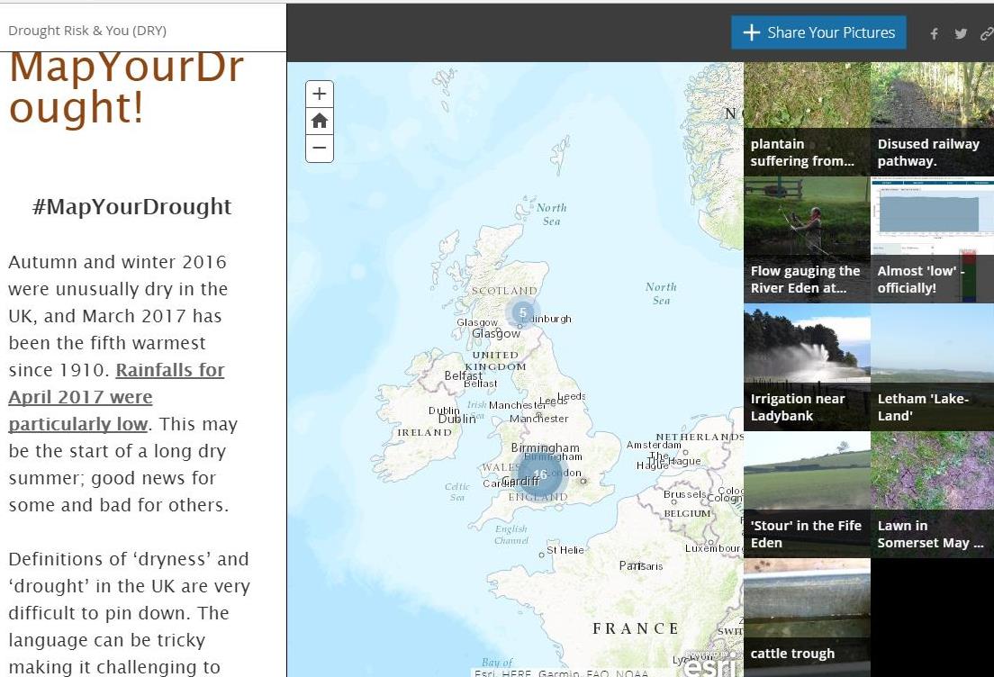
Please upload your photographs onto our map. When you upload your photographs please indicate the date it was taken in the description.
The link to the map is http://arcg.is/2qmwxSo
Sarah Ayling